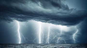


 In 1977, the San Joaquin Valley—the swath of agricultural land that runs through central California—was designated a disaster area. Record-low runoff and scant rainfall had created drought conditions. At the beginning of Christmas week, the weather was normal in Bakersfield, the city at the Valley’s southern end, but in the early hours of December 20th a strong wind began to blow from the Great Basin through the Tehachapi Mountains. Hitting the ground on the downslope, it lofted a cloud of loose topsoil and mustard-colored dust into the sky.
IMPORTANTE!: Il materiale presente in questo sito (ove non ci siano avvisi particolari) può essere copiato e redistribuito, purché venga citata la fonte. NoGeoingegneria non si assume alcuna responsabilità per gli articoli e il materiale ripubblicato.Questo blog non rappresenta una testata giornalistica in quanto viene aggiornato senza alcuna periodicità. Non può pertanto considerarsi un prodotto editoriale ai sensi della legge n. 62 del 7.03.2001.